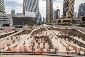
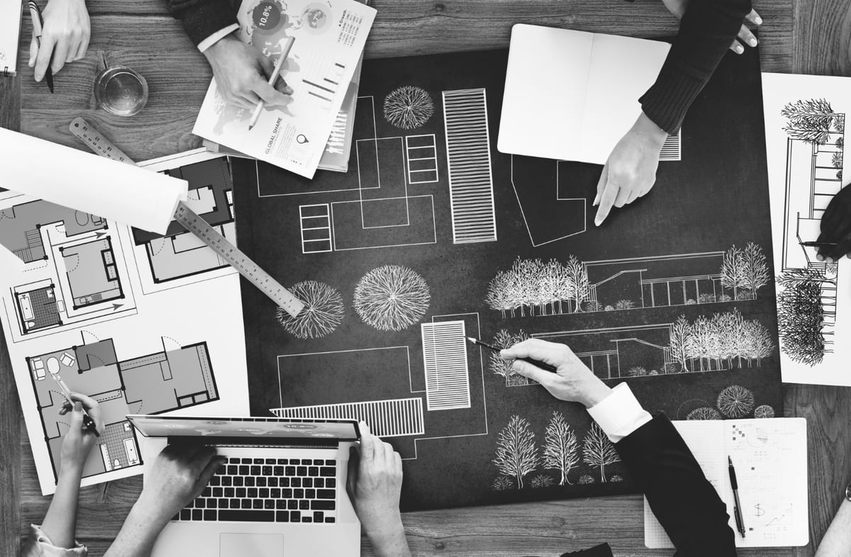
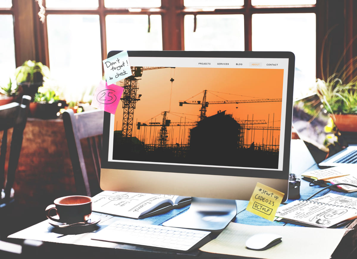
When you see a wonderful city with appealing aesthetics and effective systems, you know that much effort went into its architectural design. Every component of a town, from the transportation system to public parks, must be envisioned and then implemented to ensure that it is functional and pleasurable for everybody. Urban designers do in-depth urban analyses before creating city layouts using advanced architectural design tools. This article closely examines the top 16 urban design tools, “What urban design tools do urban designers use for their projects?”
Table of Contents
What is Urban Design?
Urban design is the planning of a city’s technical features, such as infrastructure, transportation, and streetscapes. Along with urban planning, urban design may give a place identity and influence its growth.
When planning a new development or renovation for a community, urban landscape designers take into account public spaces, buildings, roadways, residential areas, landscapes, and other factors. Urban planning and design collaborate to maximize a city’s space and infrastructure while meeting the requirements and aims of the people.
Why Urban Design Tools are Important
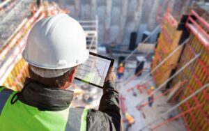
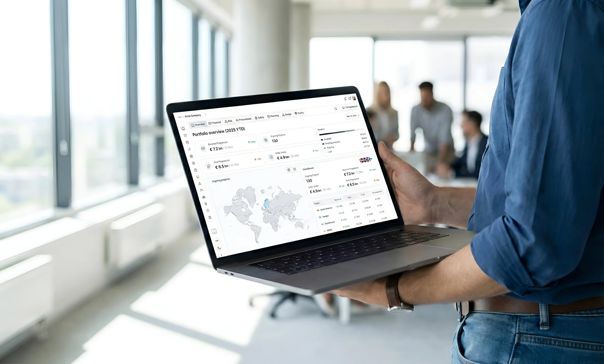
Urban design tools enables urban designers and planners to realistically see how a space will look and function, as well as incorporate geographic information systems (GIS) and building information modeling (BIM) data directly into their plans. 3D modeling urban planner software allows you to see exactly how something will appear—and, more significantly, show others. Cloud-based capabilities enable real-time collaboration with other team members during the planning and design phase, and beyond. Finally, urban design tool allows you to make accurate estimates of building prices and other resource requirements.
Top 15 Urban Design Tools for 2025
Here is a list of the top 15 urban design tools for 2025 every urban designer must know about:
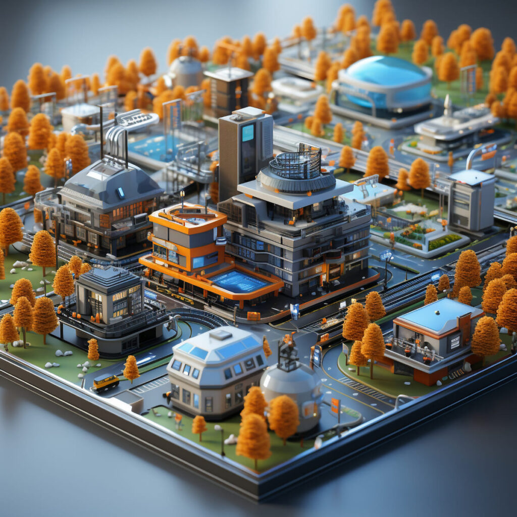
1. 3D City Planner
3D city planning is a urban design tool that helps urban planners and municipalities construct more detailed and realistic representations of existing cities, towns, and territories. The software appears to be more advanced than traditional 2D city planning tools.
Planners can utilize three-dimensional modeling to create a realistic view of their surroundings, which is especially important for urban planners because it allows them to better understand the demands of their respective communities. Such criteria include the amount of work needed to code new buildings or repair old ones.
Suggested article to read: City Information Modeling (CIM); Ultimate Guide 2024
2. CityCAD
CityCAD helps urban planners and designers test design ideas early on and gives tools for doing city analyses, allowing for in-depth understanding of strategic planning concepts. Although the software is not used throughout the construction phase, CityCAD enables designers to swiftly sketch urban layouts and convert them into 3D models.
Furthermore, this urban design tool helps to get quantitative estimates from conceptual design masterplans. Effective urban planning is made possible by its qualities, which allow for the assessment of energy consumption, water usage, and design feasibility.
3. LotWorks
LotWorks is a cloud-based program that organizes, manages, and shares vast amounts of satellite images. The software integrates with the client’s existing GIS system, allowing the urban planner to create maps and analyze data within the client’s GIS environment.
After that, you may upload the data and analysis to this urban design tool’s online service, where it can be shared in real time with other users and monitored by the automated, unified system.
4. ArcGIS CityEngine
Esri CityEngine is a 3D modeling application that lets you quickly design enormous urban landscapes. You can create surroundings that are based on real-world facts or completely imaginary. This urban design tool saves you time by constructing the urban environment based on your input and using rules. You can add context to 3D models created with other software and export the entire scene to visualization tools, gaming engines, and virtual reality experiences.
ArcGIS CityEngine software is a sophisticated modeling tool for effective urban planning and design. Urban planners, architects, game developers, and 3D artists use it to create unique 3D city models using real-world GIS data. CityEngine enables you to import, prepare, and analyze several data sources in a single step, before displaying the final 3D city model in real time.
5. GIMP
GIMP is a GNU Image Manipulation Program that lets you edit three-dimensional computer images. GIMP is considered a more effective and viable tool for urban mapping than Adobe Photoshop. GIMP includes various tools for manipulating photos, adding text to images, and stacking visual content on maps.
6. Lumion
Lumion software helps architects and urban planners create appealing 3D architectural simulations. Lumion enables you to generate high-quality 3D renders in minutes rather than hours or days, whether you’re working on a large project with a team or a small project on your own.
This urban design tool’s simple notion is what sets it apart. All you have to do is add objects to your scene, adjust the lighting and mood, apply effects, and click render. Lumion does all of the tiresome work in the background, freeing you to focus on the more creative aspects of your work.
7. ArcGIS Urban
ArcGIS Urban is an immersive 3D experience that aims to improve urban planning and decision-making. Quickly visualize projects in your local environment and use location intelligence to make better decisions. Plan more proactively rather than reactively. Simplify project collaboration between internal agencies and public stakeholders.
This urban design tool helps urban designers and planners create 3D experiences that provide a more practical understanding of potential land use and urban development. This program assists decision-making by visualizing the potential integration of urban ideas and design with their surroundings.
Suggested article to read: City Information Modeling (CIM); Ultimate Guide 2024
8. SketchUp
SketchUp is an indispensable tool for both urban planners and designers. Sketchup’s ability to sketch 3-dimensional forms quickly and accurately makes it an effective tool for visualizing buildings, neighborhoods, and even cities. SketchUp users create everything from treehouses to complex, energy-efficient structures with the world’s most popular 3D modeling and design application. SketchUp is a simple and effective tool for professionals and creatives of all types.
SketchUp is a must-have tool for both urban planners and urban designers because of its ability to sketch 3-dimensional objects quickly and accurately, as well as its usefulness for visualizing buildings, neighborhoods, and even cities.
The freeware version has some restrictions as compared to SketchUp Pro, however there are alternatives covered in the Urban Design for Planners: Software Tools course. Furthermore, SketchUp integrates seamlessly with Google Earth.
9. Modelur
Modelur is a SketchUp extension with features and functions that are strikingly similar to ArcGIS CityEngine. It is a basic and inexpensive tool that facilitates effective 3D production. Thus, it is well-known among urban planners in terms of conceptual urban planning.
This urban design tool is actually distinguished from other urban mapping tools by its ability to calculate design and urban planning parameters such as Floor Area Ratio (FAR), Gross Floor Area (GFA), Built-up Area (BUA), Site Coverage, and so on with pinpoint accuracy. It also helps to analyze potential parking lots and required green covers in the design, making them easier to locate on maps.
10. Streetmix
Streetmix is an online interactive street design platform that connects people with a creative and competent workforce to swiftly create cityscape designs. Streetmix is being created and intended for use by urban planners, governmental and commercial organizations, as well as bicycle and foot traffic users, to make cities more accessible to everyone.
This urban design tool is thus a collaborative city planning program with social participation elements, since it creates an ecosystem for users to construct, combine, and include their preferences and ideas for neighborhood streets.
11. ArchiCad
Archicad is a professional BIM software solution that meets all digital-delivery criteria and offers a simple design environment, precise BIM administration, open collaboration, and automated documentation. Archicad has become an even more effective tool for bringing architects and engineers together in a shared model, thanks to advances in the Integrated Design workflow and increased collaboration among project stakeholders.
12. Google Earth
Google Earth is a useful tool for a range of professional uses. The capacity to explore cities from an axonometric viewpoint (from the perspective of a low-flying plane) is especially valuable for urban planners and designers. Other options include the ability to view in 3D, correctly calculate distance, and interact with GIMP and SketchUp. Aside from these practical benefits, Google Earth is a game-changing resource since it allows you to explore towns and landscapes all over the world.
13. QGIS
QGIS is a free, open-source Geographic Information System with extensive capabilities. QGIS is compatible with Esri (the industry-standard maker of ArcGIS), making it ideal for planners wishing to enhance their design capabilities. Use QGIS to compare various layers of mapped data, organize locations or elements based on criteria, calculate distances, check proximities, and quickly make figure ground maps. QGIS has an incredibly active support group, making it simple to quickly get up to speed with the program.
14. URBANO
Urbano is a new, simple urban design tool that allows you to import urban data from OSM into Rhino. This allows you to create contextual models that may be used for a variety of purposes, from simple visualization and site study to comprehensive mobility simulations with loaded street grids. With v1.2, Urbano now supports topography and lets you create site models with 3D terrain, buildings, and streets with a single click.
This urban design tool was created to make it easier to establish walkable neighborhoods. Urbano enables you to comprehend the implications of design decisions on the street network and the distribution of density, programs, and facilities within the urban fabric. Urbano introduces three new urban design metrics (Walkscore, Streetscore, and Amenityscore), as well as creative and rapid methods for importing and converting urban data into meaningful design feedback via a simple trip-sending mechanism.
15. Space Syntax
UCL and Space Syntax Limited have created a “Space Syntax Online Training Platform” to help spread the knowledge of Space Syntax principles, methodology, and software.
The comprehensive handbook ‘Space Syntax Methodology’, produced by Kinda Al-Sayed et al (2014) and used in teaching at UCL, provides an introduction and step-by-step tutorials for newcomers to understand the methodologies and methods of Space Syntax analysis based on depthmapX. Space Syntax Limited also offers evidence-based tool and method training to people and organisations.
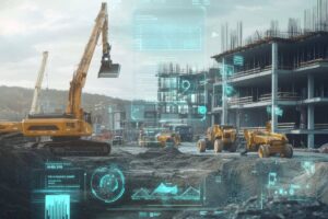
Emerging Technologies
Several additional developing technologies have the potential to play a significant role in the future of urban planning. For example, the Internet of Things (IoT) and blockchain technologies have the potential to play important roles in the future of urban planning.
The Internet of Things (IoT) is projected to have a significant impact on urban planning by enabling cities to become more connected and efficient. IoT allows city planners to collect and analyze real-time data from a variety of sources, including traffic sensors, weather stations, and public transportation systems.
Finally, blockchain technology has the ability to change the way cities are designed and maintained. Blockchain, by generating a decentralized, secure, and transparent log of transactions, can assist ensure that urban planning and development initiatives are conducted equitably and transparently. It can also help to limit the risk of fraud and corruption while ensuring that all stakeholders have access to the information they require to make educated decisions.
Some ways that developing technology might collaborate for urban planning
- IoT sensors might be used to collect data on traffic, air quality, and other city metrics, which could then be evaluated using generative AI to improve city layouts and guide urban planning decisions.
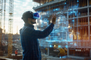
- Augmented Reality might be used to generate virtual simulations of proposed developments, which could then be examined with
- Building Information Modeling (BIM) software to discover potential problems before construction begins.
- Blockchain technology might be used to provide a secure, decentralized, and transparent platform for managing development projects, ensuring that all stakeholders have access to the information they need to make sound decisions.
- Drones and other aerial photography technology might be used to build precise 3D maps of cities, which could then be used to advise planning choices and identify possible development sites.
By combining the power of these technologies, cities may become smarter, more efficient, and more sustainable, resulting in a higher quality of life for citizens and a brighter future for our metropolitan areas.
FAQs
What are Urban Design Tools and how do they improve urban planning?
- Answer: Urban design technologies allow urban designers and planners to visualize how a space will look and function, as well as integrating geographic information systems and building information modeling data directly into their plans.
How do Urban Design Tools help with collaboration during the planning phase?
- Answer: Urban Design Tools’ cloud-based features allow for real-time collaboration with other team members during the planning and design phases, as well as beyond, assuring smooth communication and project development.
Why are Urban Design Tools essential for creating realistic urban layouts?
- Answer: Urban Design Tools enable urban designers to generate 3D models that provide a realistic image of their surroundings, which is particularly useful for understanding community needs and visualizing new developments or repairs.
How do emerging technologies like IoT and blockchain impact Urban Design Tools?
- Answer: IoT and blockchain technologies can improve urban design tools by allowing cities to become more connected and efficient, utilizing real-time data, and assuring transparency in urban planning and development.
Conclusion
Cities have the ability to make life either delightful or unbearable, as case studies from throughout the world have demonstrated. With the advancement of technology, urban and municipal planning has entered a new period of opportunity. Urban design tool are paving the way for cities that are not only functional, but also resilient and sustainable. They have simplified the previously intimidating chore of data collection and made it easier to analyze the information required for good planning. Much work and time was spent prior to the use of GIS and urban design tool, but this is no longer the case.
Suggested article for reading:
38 Innovative Construction Materials Revolutionizing the Industry
Top 12 Megaprojects in Canada; 2025 Review
Integrated Project Delivery (IPD): A Game-Changer in Construction Management; 2025
How to Use AI Architecture Generator in 2025?
Who are Construction Managers (CM)? 2025 Ultimate Guide
31 AI Tools for Architectural Design; 2025 Ultimate Guide
Top 10 Construction Companies in Malaysia 2025
Resources:
flypix | parametric-architecture | realspace3d | illustrarch | urbandesignlab | slashdot | digitalbluefoam | Neuroject.com | newh | planetizen
For all the pictures: Freepik